
Zonal Statistics and LIDAR data
MaCT 2019/2020
Faculty: Diego Pajarito
Students: Jochen Morandell, Rovianne Santiago and Alejandro Quinto
How can technologies like LIDAR can help us understand the cities better? How can we combine this with some other management processes like zonal statistics? Which formats do we get out of lidar sensors and which are the different worksflows and analysis that we can perform in grasshoppper? This work it’s an experimental approach on research and development of tools in order to get a better understanding of LIDAR technology and its combination with other tools.
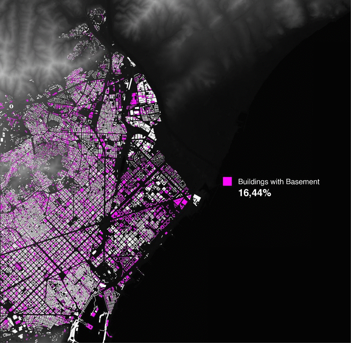


Creating new ways of representing and analysing the city through satellites and LIDAR technology.