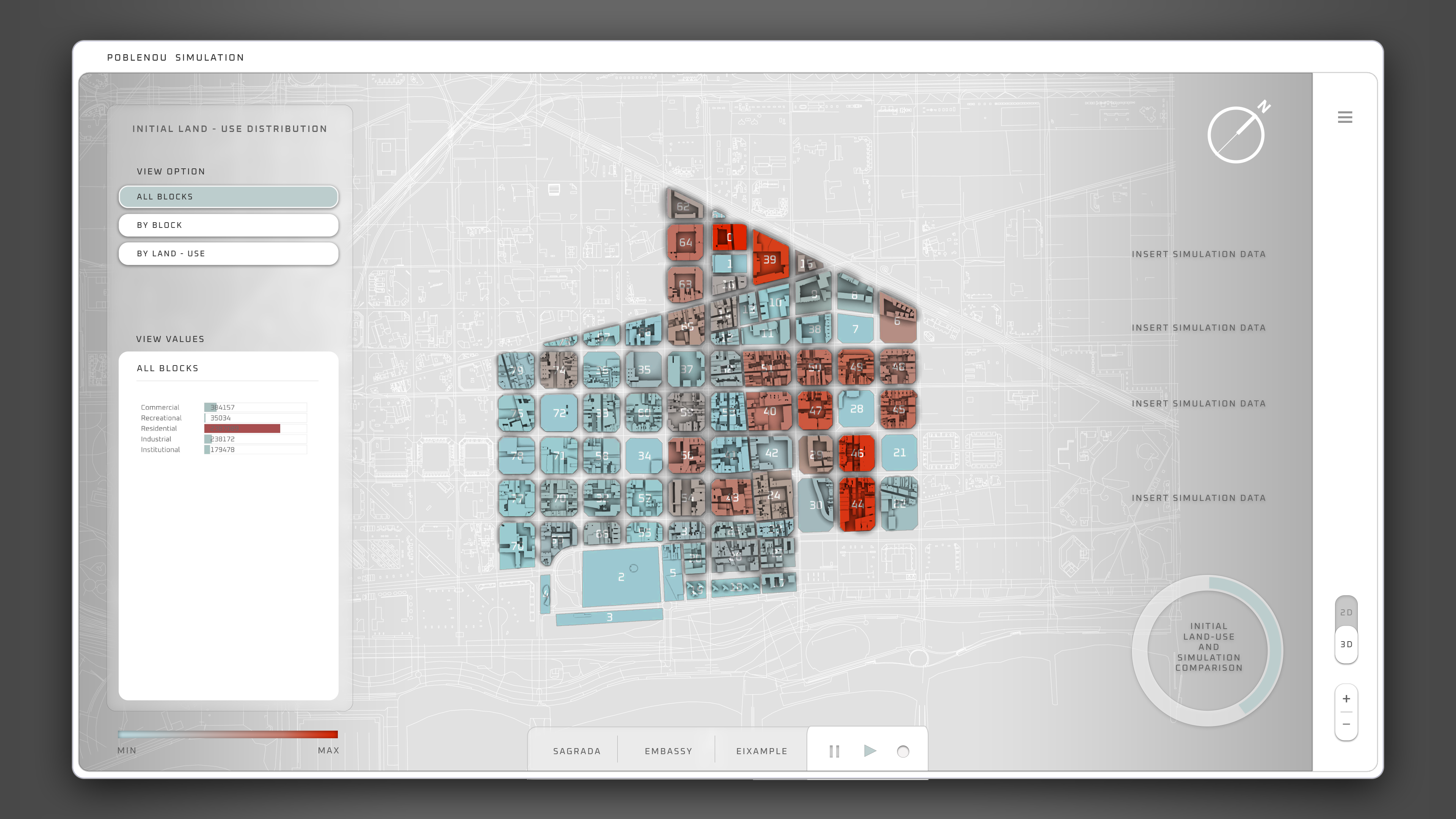
Simulating Land Use Distribution
MaCT 2019/2020 / Computational Design II
Faculty: Alex Mademochoritis, Eugenio Bettucchi, Rodrigo Aguirre
Students: Kushal Suraiya, Rovianne Santiago, Andrew Saltzman, Jochen Morandell
The land use distribution of a block, neighborhood, or district can be seen as a valuable data point that tells a story about that particular urban form. In the OECD article “The Governance of Land Use,” the authors write “Land use affects individual and collective wellbeing and is a critical factor in meeting the overarching goals of environmental sustainability, economic growth and social inclusion.” Thus, we believe that being able to simulate land use distribution as a primary data point within a neighborhood opens the door to modeling additional environmental, economic, and social metrics. This tool would then prove valuable to a number of professions including real estate strategists, urban planners, economists, financial services, sociologists, etc.
Simulating land use distribution within a neighborhood opens the door to modeling additional environmental, economic, and social metrics.


